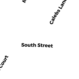
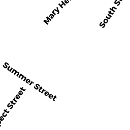
10 SOUTH ST
Owner Information
BAGNELL MARTHA A L/E
10 SOUTH ST
ROCKPORT, MA 1966


Property Details
10 SOUTH ST is classified as a Multiple Houses on one parcel (Conventional).
The primary structure on this property was built in 1716. There are 2,472ft2 of built area within this property. There is 1,496ft2 of residential/living space within this property. This property is listed as having 7 rooms.
10 SOUTH ST is valued at $644,200. The land is valued at $302,400 and the structures are valued at $337,000. There is an additional valuation of $4,800 on this property.
This property is in Zone R3. Confirm with local Zoning Board authorities to ensure there are no overlays or other easements on this property.
The most recent deed for 10 SOUTH ST is recorded at the local registrar in Book 24587, Page 277. 10 SOUTH ST was last sold on Thursday, July 21, 2005 for $1.
Assessment data from fiscal year 2021.
Flood Data
According to the FEMA National Flood Hazard Layer, this property does not appear to be in a flood zone. It may also be in an area not yet reviewed. Nonetheless, confirm this information prior to taking any action.
To view the flood hazards around this property, create a FEMA "Firmette" Map of the area around 10 SOUTH ST.
Broadband Internet Providers
| Provider | Type | Bandwidth (mbps) | |
|---|---|---|---|
| GCI Communication Corp. | Satellite | 0 | 0 |
| Verizon New England Inc. | DSL | 10 | 1 |
| Viasat Inc | Satellite | 100 | 3 |
| HughesNet | Satellite | 25 | 3 |
| VSAT Systems, LLC. | Satellite | 2 | 1 |
| Comcast | Cable | 1000 | 35 |
Broadband service provider data from December 2020.
Adjacent Properties
- 4R CANTERBURY LN
Residential Condominium owned by ASPESI JAMES P L/E - 4 CANTERBURY LN
Residential Condominium owned by CASSIDY THOMAS J - 4-4 CANTERBURY LN
Other, Open Space owned by . - 4-4 CANTERBURY LN
Other, Open Space owned by . - 6A SOUTH ST #A
Residential Condominium owned by S & J INVESTMENTS LLC - 6C SOUTH ST #C
Residential Condominium owned by CAFFI MICHAEL R & DEBRA A - 6 SOUTH ST
Other, Open Space owned by S & J INVESTMENTS LLC - 6B SOUTH ST #B
Residential Condominium owned by GOODRICH LINDA - 12 SOUTH ST
Single Family Residential owned by BRYNING KARL W & DAWN L - 8 SOUTH ST
Multiple Houses on one parcel owned by KELLEY KEVIN C MD TRS